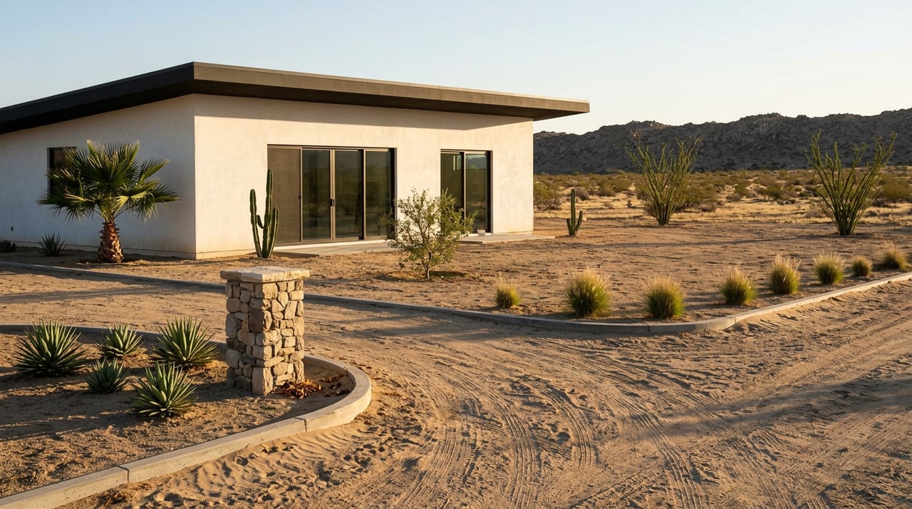
El Pescadero's Zoning Rules Say No Apartments in the Tourist Zone. One Project Is Testing That Right Now.
September 3, 2026
September 3, 2026
Sometime before most people outside El Pescadero were paying attention, a parcel known in permitting documents as Fracción B lost more than 90 percent of its natural vegetation. The clearing happened without authorization. Construction on a four-tower apartment block began without the required permits. When the developers eventually brought the project to Mexico's environmental regulator, SEMARNAT, for approval, the agency's Baja California Sur office said no.
That should have been the end of it. Instead, the developers went back with a new Environmental Impact Statement for the same project, still called "The View," still four interconnected towers on the same 912 square meters, still estimated at a 50-year working life. As of this writing, seven months after that resubmission became public, no ruling has been announced. The project sits in procedural limbo on a piece of land the town's own planning documents were never supposed to allow it on.
If you're looking at land or an existing structure anywhere in the Todos Santos to El Pescadero corridor, this case is worth understanding before you sign anything. It shows you what the zoning map says, what it doesn't stop, and why a parcel's official designation is the start of your due diligence, not the end of it.
El Pescadero and Todos Santos share a single governing document, the Subregional Urban Development Program, first approved in 2012 and published in the state's Official Bulletin. It covers more than thirty miles of coastline, from Elias Calles in the south to Agua Blanca in the north, and it sets out exactly what can be built in the tourist-residential zone that runs along the beach.
The rules are specific. Density is capped at four homes per hectare. Minimum lot size is 2,000 square meters, with a minimum frontage of 25 meters. A building can cover no more than 25 percent of the lot on its ground floor and no more than 60 percent across all floors combined. Height is tied to distance from the coast: two stories and 7.5 meters within 400 meters of the coastline, three stories and 10.5 meters, about 34 feet, beyond that line.
One community organization that tracks the plan's enforcement, Protect Todos Santos, summarizes the relevant clause without ambiguity: "No commercial buildings or apartment buildings in the tourist area." That's not a loophole-prone paraphrase. It's the rule as written.
Fracción B sits inside that same tourist-residential coastal band. A four-tower apartment complex is, on paper, exactly what this zone was written to prevent.
The Environmental Impact Statement filed for The View describes a single civil structure built as one connected block, occupying the 912.48 square meters of Fracción B. The document itself acknowledges the site's exposure to the coast, noting that corrosion from salt air and humidity is the main long-term challenge for construction in this zone. That's the developer's own risk disclosure, not outside criticism.
The more consequential admission is procedural. The filing states plainly that mismanagement of the original permitting process led to construction activities starting before the required authorizations were in place, which is what triggered SEMARNAT's initial denial. Separately, the filing confirms that more than 90 percent of the parcel's natural vegetation was removed without authorization.
Two separate problems are tangled together here: whether the project fits the zone, and whether it was built the right way. The current resubmission is trying to resolve the second without fully answering the first.
Here's the detail that makes this more than a local permitting dispute. According to the resubmitted filing, Fracción B is classified under an updated version of the Subregional Urban Development Program, one approved by the La Paz city council and published in the state's Official Gazette on February 5, 2025. Under that update, the site's land use is listed as Tourist Residential with a policy designation of territorial growth.
That phrase matters. A "growth" designation signals that a parcel is being positioned for more development activity, not less, even while it remains formally categorized as tourist-residential. It doesn't erase the single-family cap and density limits written into the original 2012 plan, but it tells you the underlying document itself is not static. The same watchdog organization that documented the original 2012 rules had also been tracking a broader rewrite of the zoning code elsewhere in the corridor. One proposed category for the area near Las Playitas and Las Tunas would drop the minimum lot size from 600 to 400 square meters and allow multifamily housing without special approval on lots of 1,000 square meters, a real loosening of the single-family standard that still governs Fracción B's zone today.
Whether or not that specific category ever touches Fracción B, the pattern is the same: this is a zoning code that has been revised at least once in the last eighteen months and was already under discussion for further revision. If you're buying land here based on what a zoning map says today, you're buying into a document that has moved before and may move again.
The instinct when you hear "SEMARNAT already said no" is to assume the story ends there. It didn't, and understanding why is the actual lesson for anyone evaluating a similarly situated lot.
SEMARNAT's original denial was tied to the process failure, not a definitive ruling that this land can never host this type of structure. That's why a second Environmental Impact Statement is a live filing today rather than a dead one. A parcel sitting in a growth-designated zone, with a procedurally clean application, is a very different regulatory proposition than the same parcel with an application built on unauthorized clearing and unpermitted construction. The zoning designation opens a door. The permitting process decides whether you actually get to walk through it.
For a buyer, that means the presence of an active resubmission tells you almost nothing about the eventual outcome. It tells you the fight isn't over.
El Pescadero and Todos Santos have real, named organizations that track compliance with the Subregional Urban Development Program, not just informal neighborhood chatter. Protect Todos Santos has published the specific density and height figures from the 2012 plan and flagged the newer zone categories under discussion. The Asociación de Colonos de Todos Santos, known locally as ACTS, has taken on enforcement roles of its own, including monitoring for illegal cell tower construction as mandated by the same master plan.
This matters for due diligence in a very concrete way. If a project on or near a parcel you're considering has drawn attention from either group, that's a signal worth following up on directly, not a rumor to dismiss.
Before you commit to a parcel in this corridor, a few questions are worth asking that go beyond the listing sheet:
None of this means development is impossible in El Pescadero, or that the market here is riskier than comparable coastal corridors in Baja Sur. It means the paperwork trail is longer than a single zoning map, and the people who do well here are the ones who read past it.
Does this mean apartment buildings are now legal in El Pescadero's tourist-residential zone? Not automatically. The 2012 plan still bars commercial and apartment buildings in that zone. The February 2025 update reclassified specific parcels with growth-oriented designations, but that is a parcel-by-parcel question, not a blanket change.
Is The View approved? No public ruling has surfaced as of this writing. The project is in an active resubmission phase with SEMARNAT following an earlier denial.
How do I find out a specific parcel's zoning designation before I buy? Ask for the parcel's classification under the current Subregional Urban Development Program directly, and confirm the date of the most recent published update, since the plan has changed at least once in the last two years.
Zoning documents tell you what's allowed on paper. Knowing what actually gets built, contested, or quietly resubmitted takes someone watching the corridor day to day. If you're evaluating a lot in El Pescadero, or trying to understand what a parcel's classification really means for your plans, Sarah Mucha can walk through the specifics with you before you commit to anything. Let's connect.
Stay up to date on the latest real estate trends.


Sarah is ready to ensure all of your real estate needs are met. Whether you are looking to buy or sell your home or land, she will focus on the importance of communication and service.